Project Title
Sample project



Lanka GPS (pvt) ltd is one of the leading surveying firms operating in sri lanka as of today. we have a specialized team of professional surveyors who are highly qualified and experienced. the company was originally established in 2007 as Lanka Geometric Precision Surveys (Lanka GPS) by Mr. U.P.N Warnakula, the founder who is also the present Managing Director of the company and with the development of the company it was later renamed as Lanka GPS (Pvt) Ltd in the year 2012
The company has rapidly grown to a fully-fledged surveying company with a wealth of experience by handling various types of surveys throughout the island.
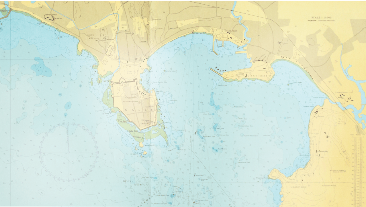
Under the recent restructuring of the company, Lanka GPS has expanded their scope of services to carry out Hydrographic surveys and Remote sensing & GIS related services.
Lanka GPS (PVT) Ltd is the first choice for surveying because of our unique blend of high quality instruments with state of the art technology and our team of dedicated professional staff which offers efficient solutions to every client who seeks our services.
Executing every job we undertake with the utmost accuracy and quality by utilizing our specialized knowledge.
To constantly remain as a front runner in the field of multi-disciplinary surveying.
Specialized staff consists of Consultants and Experts in specific related fields such as GPS, Geodetic, Hydrography, Remote Sensing & GIS Applications and Cartography to maintain our high standard out puts.
Our total field force is powered by more than 50 personals including Surveying Supervisors, Field and Hydrographic Surveyors, Assistant Surveyors, Surveyor helpers, Cartographers, Auto-cad Draftsmen and other office and field supporting staff.
Apart from our team of permanent professional staff, we have an established network with freelance experts in the industry and field who are willing to provide their specialized services to our projects.
I represent the young generation of the professional Surveying community in Sri Lanka and graduated from Sabaragamuwa University of Sri Lanka. I am one of the Surveying science graduates who belong to the very first batch of the faculty of Geomatics – SabaragamuwaUniversity which is a controversial milestone of the island’s Survey profession.
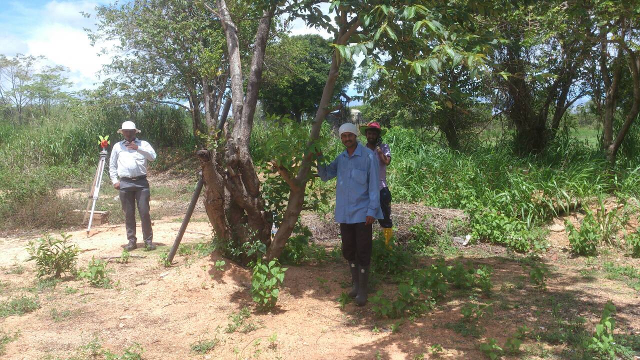
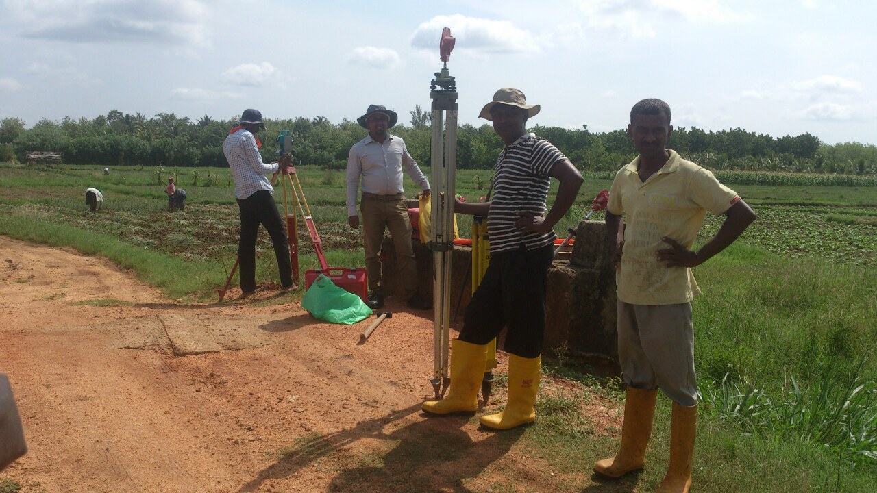
All the members of our team are also professionally and academically qualified team players who are capable of tackling any challenge occurring in the field. Our team is not only young and energetic but also well acquainted with the state of the art technology in this era of Geomatics.
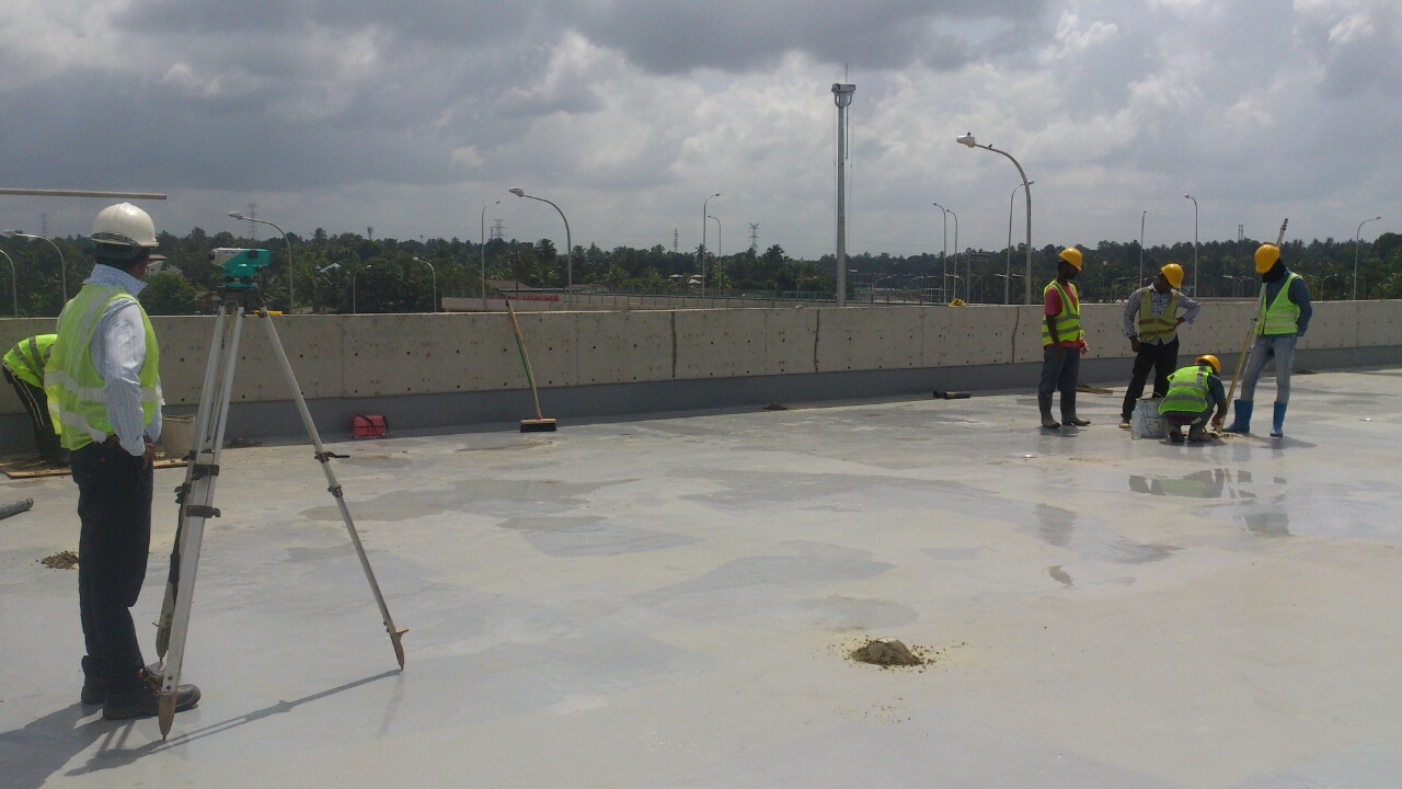
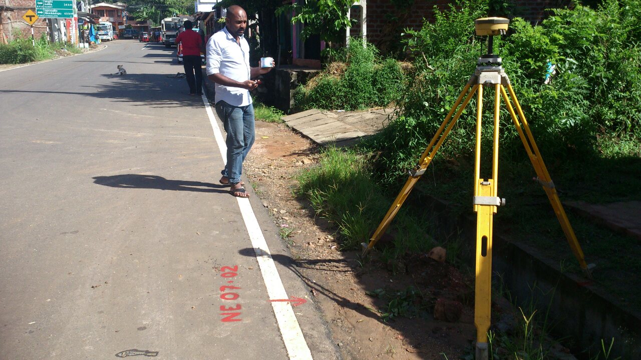
Currently we are involved in Construction Supportive Survey services and providing total solutions for land based Surveying tasks. But now we are in the process of restructuring the company to expand our services to further avenues such as Hydrographic Surveying, Geodetic Surveying, modern applications of Remote Sensing, GIS etc.
Due to our trusted service concerning the accuracy, punctuality and quality we were able to establish an exclusive clientele within a short period of 8 years which consists of leading government organizations, local and private companies.
Today we are proud to be where we are and anticipate to constantly remain as a front runner in the field of multi-disciplinary surveying.
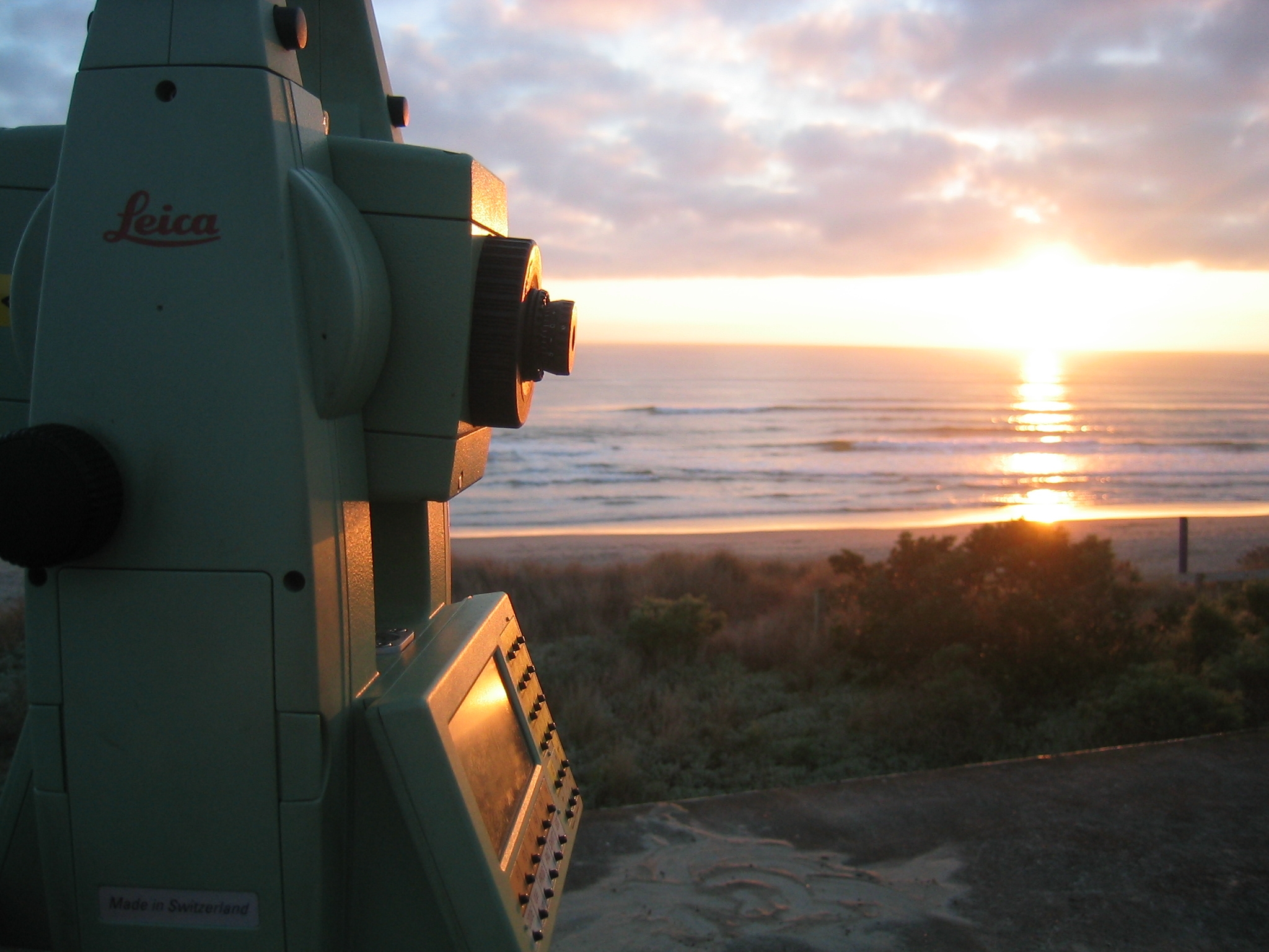
The Company is fully geared with all the modern surveying hardware and software for a fully functional office.
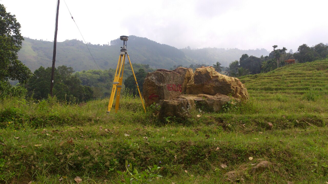
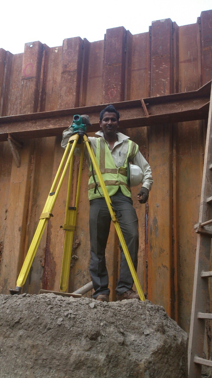
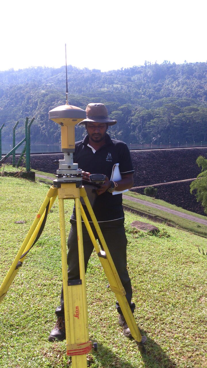
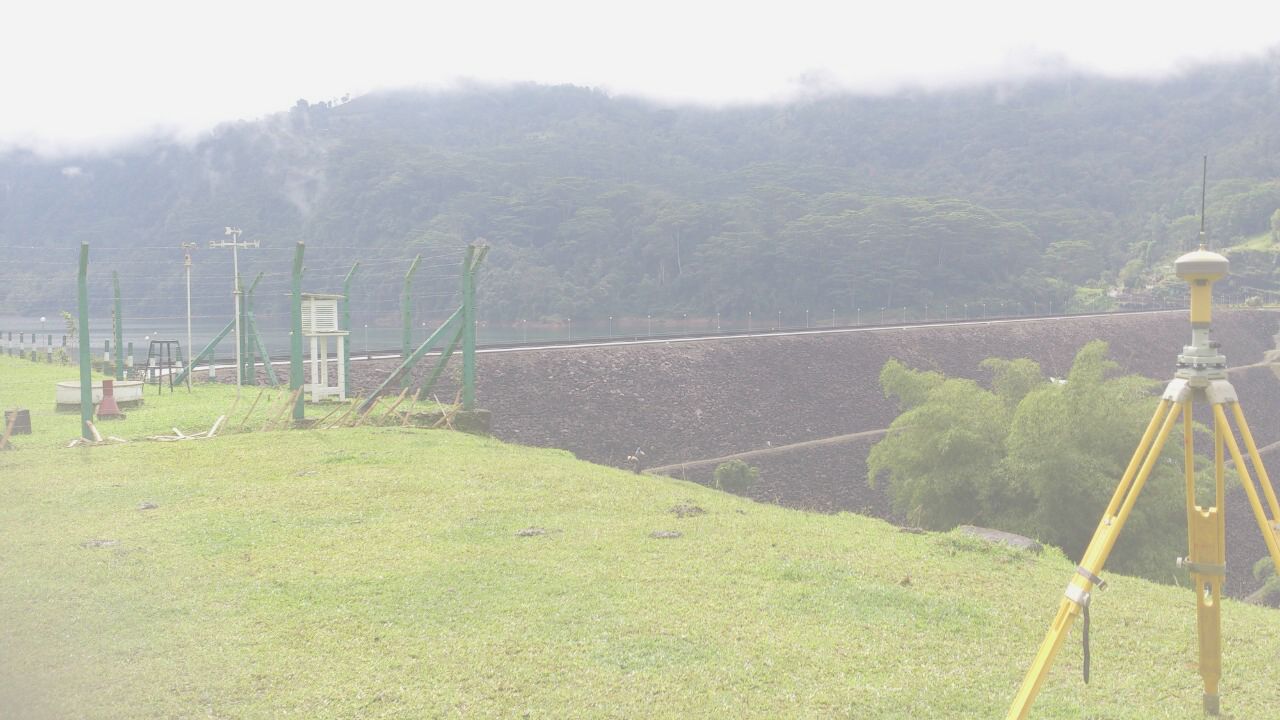
The Company also possesses up-to-date high-tech surveying instruments such as Total Stations, Auto Levels, Digital Levels, Modern GPS Etc.,
We also have a fleet of vehicles suitable for any type of field operation.